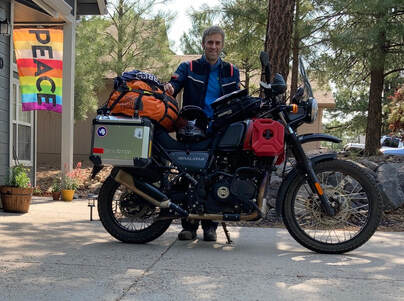
Day 4 - Southeast Flagstaff
GPS TRACK Download (Day 4)

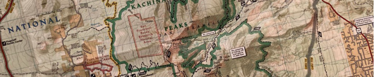
NAZMAT DAY 4 will be the final *official* outing of the tour, and will be another long day. The route features just over 100 total miles, on widely varying terrain. There will be a couple of notable Class 4 sections in the "Eastern Flats" along the AZ Backcountry Discovery Route, but a lower Class reroute will be available for those interested in bypassing those sections. Riders will need to concentrate more both on their riding, and the terrain throughout the day. The ride will feature various scenic points of interest in the Southeast region of Flagstaff. This includes, in part, Mormon Mountain, Playa Ponderosa, Pine Hill, Walnut Canyon, Marshall Lake, and the "Eastern Flats". As noted, sections of the Day 4 route will be on the AZ-BDR.
The Specifics
Day 4 will start early at the Walmart Parking lot in Southern Flagstaff. We will first head briefly south on Beulah Blvd before turning left on the Old Munds Hwy, and proceed through an old single-lane tunnel. Once out on Mountainaire Road, the route heads left and then quickly turns up Route 762 (Class 2 and 3). This is the start of the smaller "Schoolhouse Draw Loop". We continue on 762 and into 867 until the loops ends out on Lake Mary Rd.
The route follows about 3 miles East on Lake Mary Road before immediately turning right off onto Route 132. We will follow this road for several miles as it twists its way through the Pines and past Ponderosa Playa (Class 1). There is a slight detour around the Hoxworth Springs loop (Class 2 and 3) along this road as well. Once at the foot of Mormon Mountain, We will fork right and head up Route 132A (Class 2 and 3). For those feeling daring, there is an optional 3-mile road up to the summit, but it is quite difficult Class 4 terrain with many large/loose rocks. A few miles down the road, Route 132A becomes 240 (Class 1), and eventually ends out on the paved Route 90 at Mormon Lake. We will turn right and circle around the southern part of the "Lake" until we end up back on Lake Mary Road.
The route turns briefly left (North) on Lake Mary Road, before quickly turning right on Route 125 towards Pine Hill (Class 1 and 2). For the next ~40 miles, the route follows portions of the AZ-BDR. At Pine Hill, we will make a very quick out-n-back visit up to the summit and break for lunch (Class 3). Following break, we will continue on 125 for several miles across open fields until it descends into what I call the "Eastern Flats" (class 2 and 3). At the bottom of the descent, riders will turn left and head north on Route 126 for several miles (Class 1 and 2).
Eventually, the route turns left on Route 233 and becomes significantly more challenging. Riders wishing to detour can continue on 126 up to Interstate 40 for a 12-mile reroute. Very quickly, the track becomes difficult Class 3 and Class 4 in places. The road climbs up to a power line cut (Route 9481A), which we will follow for a short stretch before turning left at Dunn Tank over to Route 82 (Class 2 and 3). At the intersection for Route 128, riders will turn left on Route 128 (Class 2 and 3) which we will follow for about 13 miles all the way back out to Lake Mary Road. This section takes riders past views of Walnut Canyon, Marshall Lake, and the Lowell Observatory. Once back out on Lake Mary Road, the route turns right and heads directly back to town. Once in town, we will officially end the ride and decide where to proceed for dinner. At dinner, we will celebrate a *hopefully* successful end to the inaugural NAZMAT. This will also be a good time to set a plan for any riders looking to participate in Days 5 or 6.
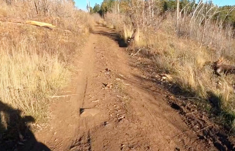
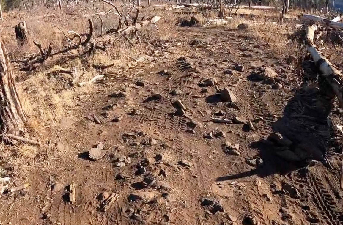
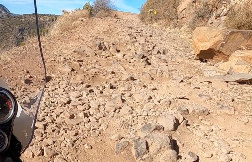
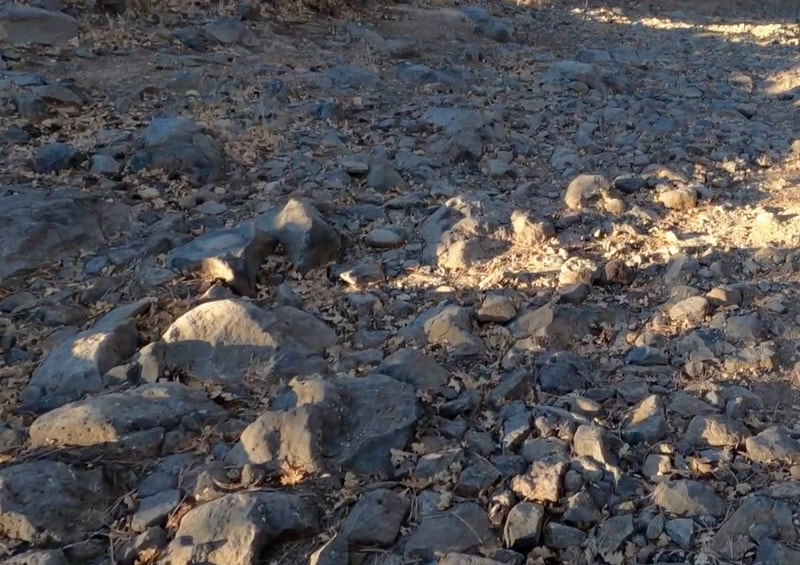
Footage FROM the Ride
|
|
|
|
|
|
PHOTOS from the ride


Road/Terrain Rating
The difficulty and terrain of all NAZMAT sections will be described using the following Class rating below. This is not an "official" rating system per se, but is still meant to give riders a general sense of the terrain. Nearly all of the routes will fall between Class 0 and Class 3, with a few short sections falling under Class 4. There are no Class 5 sections on any NAZMAT route.
|
Class 0
Any paved road or surface. There are some Class 0 paved sections, primarily used as a way to connect various off-road sections or to get to trailheads. |
|
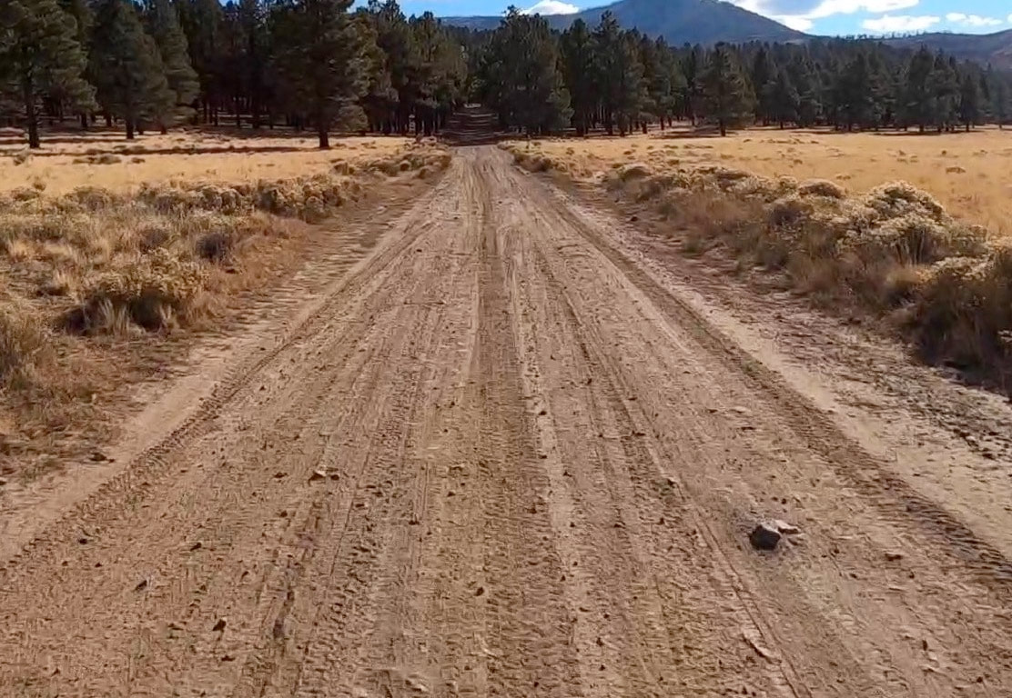
Class 1
Well-maintained gravel or forest roads. No major risk of falls, Very few rocks, roots, or obstacles. There are many Class 1 sections. |
|
Class 2
More-primitive forest roads, including dual track roads. Minor risk of falls. Occasional rocks, roots, obstacles, or loose gravel/sand. There are many Class 2 sections. |
|
Class 3
Unmaintained Jeep or ATV roads. Reasonable risk of falls. Regular rocks, roots, sand, or obstacles. Requires fair amount of skill and concentration. There are many Class 3 sections. |
|
Class 4
Technical Jeep or ATV roads. Considerable risk of falls. Frequent large rocks, roots, or obstacles. Requires high skill and full concentration. There are a few Class 4 sections. |
|
Class 5
Highly technical dirt-bike/ATV routes. Extreme risk of falls and high danger. Constant large or unstable rocks, sand, roots, or obstacles. Requires advanced skills and full concentration. Not well-suited for typical ADV bikes. There are no Class 5 sections on any NAZMAT route. |