Day 2 - northwest Flagstaff
GPS TRACK DOWNLOAD (DAY 2)
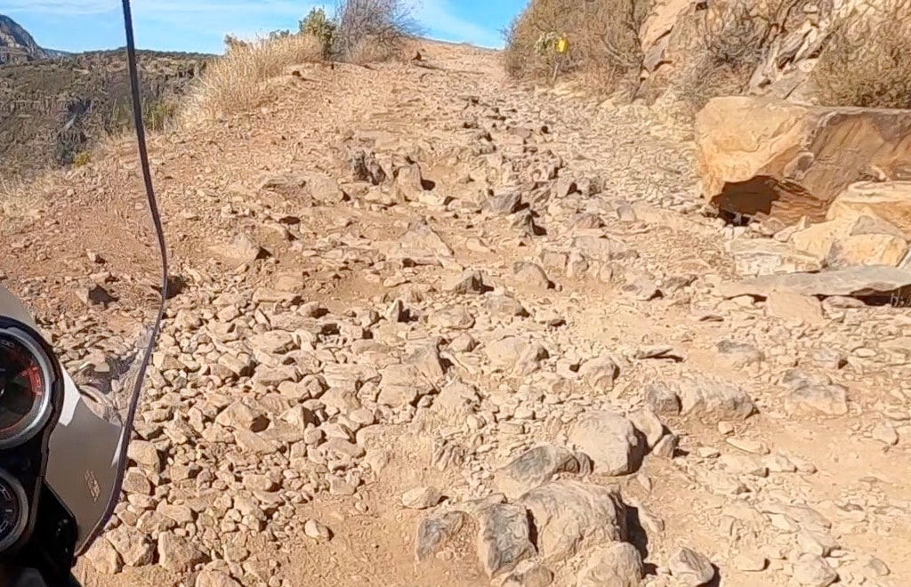
NAZMAT DAY 2 will be a step up from Day 1 both in terrain and difficulty. Much of this second day will feature Class 2 and 3 forest roads, with a couple of short Class 4 sections. Riders will need to concentrate more both on their riding, and the terrain throughout the route. Day 2 will cover at least 90 total miles and will feature various scenic points of interest in the Northwest region of Flagstaff. This includes, in part, Wing Mountain, Lava Cave, Kendrick Peak, Hart Prairie, and the "Snowbowl" up the flank of Humphrey's Peak (Arizona's Highest Point).
The Specifics
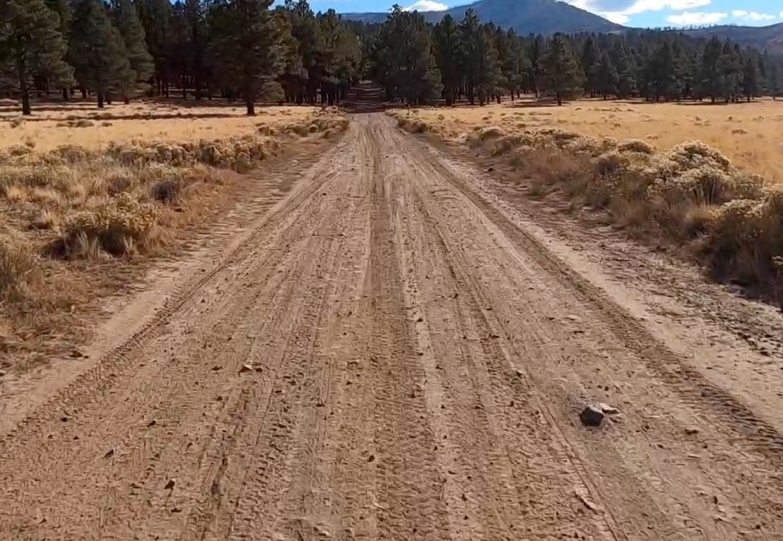
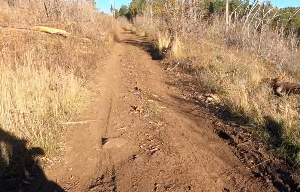
The day will start in the gravel parking area at the base of Snowbowl Road. After a very short paved section North on Fort Valley Road, we'll cut west on Wing Mountain Road Route 222 (Class 1 and 2). The course loops around Wing Mountain to the south on some pristine forest and dual-track roads (Routes 519, 518, and 222A). Once out on Route 171 (Class 1), we'll head briefly North before cutting back east into the more primitive forest roads (Routes 9001P, 222A, 222B). Just a half mile down 222B, we'll make a turn to the north on Routes 9009N and 9008N. This will be the first section of difficult Class 3 (bordering on Class 4). A simpler reroute of this section is possible by going back out to Fort Valley Road on 222B and bypassing it. The difficult terrain only lasts for about 2 miles, and dumps riders out on Route 164C (Class 1 and 2). We'll head west on 164C and cut right at Trick Tank on Class 3 road 9001M. This road can be muddy and rutted, but is otherwise easy to navigate. After about a mile, the road becomes 9002M and a bit milder (Class 2). Once back out on Route 171, we'll head north for a few miles to the well-known "Lava Tube Cave" for our first break. Bring a reliable and powerful headlamp if you'd are planning hike down into the cave (which of course is highly recommended).
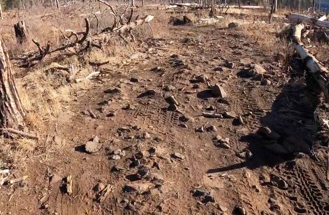
After a sufficient break, we'll continue north on Route 171 for several miles passing the Kendrick Mountain and Pumpkin Trailheads. There are fantastic views of Kendrick Peak along this section. Just past the Pumpkin Trailhead and short of Pumpkin Knoll, we'll turn right onto Route 110. This route begins at Class 2 and 3. Just past Pumpkin Knoll however, the road climbs steeply for a few miles over the most difficult terrain of the day. The climb is almost entirely difficult Class 3, with a few Class 4 sections due to the loose or large rocks. This section will take some concentration, but is also a lot of fun (see Recon Ride #2 video for footage of this section).
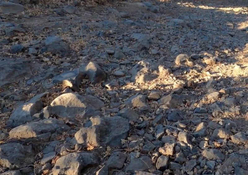
Once on top, the course turns right on Route 90A (Class 2 and 3) and heads back East along the shoulder of Kendrick Mountain. After a few miles, the course turns left on route 90, where it eventually starts to descend back down into the valley. This descent is difficult Class 3 in spots. At the bottom of the descent, at the first major intersection, we'll turn south on Route 767 (Class 2 and 3). Some of this road is littered with loose lava rock, so caution is advised (Class 3). At the southern end of this road, we'll go through a gate and onto Route 760 (Class 1).
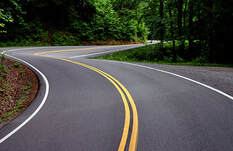
We'll follow this road a for a few miles and then cut right past Mudersbach Well on Route 9234P (Class 2 and 3). This will put riders out on Route 193 (Class 1) where we will turn left and be back out on Highway 180 (Class 0). The route heads north for about 6 miles on pavement before turning right on Route 523 (Class 2). Continue on 523 until it becomes 514 (Class 1 and 2). Immediately after, the route turns right on Route 9003R/9151M (Class 3). Continue south and head right at the fork on Route 773 (Class 2). The route follows 773 until a junction with Route 151 where riders will turn left (south - Class 1 and 2). Riders continue on 151 past Fern Mountain and Hart Prairie before finally popping back out on Highway 180 just a mile north of the gravel parking area at the base of Snowbowl Road where the day started. Lastly, we'll ride the the twisty paved Snowbowl road up to the 9000' parking area for some stunning views to end the day. After time for photos, riders will head back into town to enjoy a well-earned dinner.
Footage FROM the Ride
|
|
|
|
|
|
PHOTOS from the ride
Road/Terrain Rating
The difficulty and terrain of all NAZMAT sections will be described using the following Class rating below. This is not an "official" rating system per se, but is still meant to give riders a general sense of the terrain. Nearly all of the routes will fall between Class 0 and Class 3, with a few short sections falling under Class 4. There are no Class 5 sections on any NAZMAT route.


