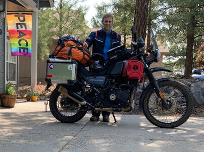
Day 3 - northeast Flagstaff
GPS TRACK Download (Day 3)

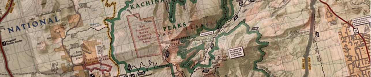
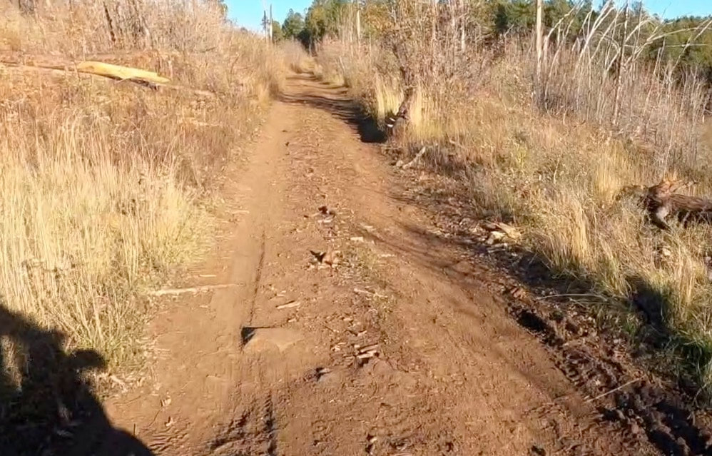
NAZMAT DAY 3 will be the longest of the four days, featuring over 100 total miles. This third day will feature a mix of all road classes, including a couple of short Class 4 sections. Riders will need to concentrate more both on their riding, and the terrain throughout the route. The ride will feature various scenic points of interest in the Northeast region of Flagstaff. This includes, in part, Saddle Mountain, SP Crater, Doney Peak, Wupatki Pueblo, Sunset Crater, and the "Notorious" Schultz Pass Road.
The Specifics
The day will again start in the gravel parking area at the base of Snowbowl Road. For the first few miles, we'll retrace our path from the end of Day 2, by heading north up Route 151 (Class 1 and 2). At the Hochderffer Hills, the route will circle around to the more-primitive Route 151E. When back out on 151, the route turns right briefly, before turning left (north) on Route 514A (Class 3). Once out on 514, we will turn right briefly, before turning left on Route 550 for a brief out-and-back up Saddle Mountain. If the road is open, we'll turn left on 550A to ride up to the summit. After a short break, we will retrace our steps back down to 514 where we will turn left and continue heading East. We will follow 514 (Class 1 and 2) for several miles and eventually turn left on Route 417 to start the ride up to SP Crater (Class 2 and 3). The route follows 417 for several miles until just short of Colton Crater when it forks right on Route 9005C (Class 3). Once around Colton Crater, we will fork right and head directly to SP Crater.
At the crater, we'll break for a snack and photos. From SP Crater, it is a direct 10-mile ride East out to Highway 89 on and unnamed Class 1 road. Once out on 89, we will briefly head left (north), before turning into the Wupatki/Sunset Crater Loop. This is a paved loop, but is incredibly scenic and twisty. It will be a nice chance to stretch out the legs and sit down for a bit. Along the loop, we'll stop briefly at the Citadel and then again at Doney Peak. There is a 1/2 mile easy hike up to the lookout bench on Doney Peak that is well worth the trip if there is time. A short ride down the loop, we will hit the fascinating Wupatki Pueblo. This is a great spot for a longer lunch break.
After lunch, we will continue around the loop but cut left just before Sunset Crater on Route 776 (Class 2 and 3). This will take us past the Cinder Hills off-road recreation area where we will likely see many overlander vehicles, jeeps, side-by-sides, and dirt bikes tearing it up. A few miles down the road, the route will come back out on Highway 89. We will head north for a few miles and then turn left onto Route 552, and then immediately left again on Route 420, otherwise known as Schultz Pass Road.
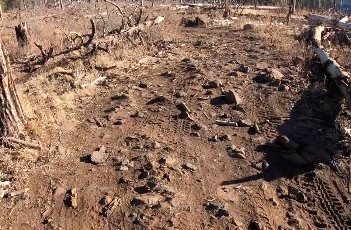
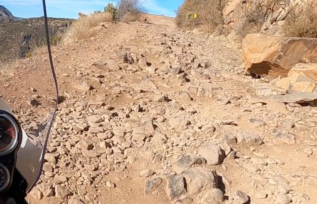
Schultz Pass Road continues for over 20 miles, across widely varied terrain, including a couple of very short Class 4 sections. This will be the most technical terrain of the day, and will require some patience and concentration. Nothing is beyond the capability of an ADV bike however. After the first 10 miles, the road becomes much calmer as we climb up and over Schultz Pass. Once on the pass, the road is a nice Class 1 and 2 descent back down Highway 180. We will officially end the ride at the parking area near Hwy 180, and then decide where to proceed for dinner.
At the crater, we'll break for a snack and photos. From SP Crater, it is a direct 10-mile ride East out to Highway 89 on and unnamed Class 1 road. Once out on 89, we will briefly head left (north), before turning into the Wupatki/Sunset Crater Loop. This is a paved loop, but is incredibly scenic and twisty. It will be a nice chance to stretch out the legs and sit down for a bit. Along the loop, we'll stop briefly at the Citadel and then again at Doney Peak. There is a 1/2 mile easy hike up to the lookout bench on Doney Peak that is well worth the trip if there is time. A short ride down the loop, we will hit the fascinating Wupatki Pueblo. This is a great spot for a longer lunch break.
After lunch, we will continue around the loop but cut left just before Sunset Crater on Route 776 (Class 2 and 3). This will take us past the Cinder Hills off-road recreation area where we will likely see many overlander vehicles, jeeps, side-by-sides, and dirt bikes tearing it up. A few miles down the road, the route will come back out on Highway 89. We will head north for a few miles and then turn left onto Route 552, and then immediately left again on Route 420, otherwise known as Schultz Pass Road.
Schultz Pass Road continues for over 20 miles, across widely varied terrain, including a couple of very short Class 4 sections. This will be the most technical terrain of the day, and will require some patience and concentration. Nothing is beyond the capability of an ADV bike however. After the first 10 miles, the road becomes much calmer as we climb up and over Schultz Pass. Once on the pass, the road is a nice Class 1 and 2 descent back down Highway 180. We will officially end the ride at the parking area near Hwy 180, and then decide where to proceed for dinner.
Footage FROM the Ride
|
|
|
|
|
|
PHOTOS from the ride


Road/Terrain Rating
The difficulty and terrain of all NAZMAT sections will be described using the following Class rating below. This is not an "official" rating system per se, but is still meant to give riders a general sense of the terrain. Nearly all of the routes will fall between Class 0 and Class 3, with a few short sections falling under Class 4. There are no Class 5 sections on any NAZMAT route.
|
Class 0
Any paved road or surface. There are some Class 0 paved sections, primarily used as a way to connect various off-road sections or to get to trailheads. |
|
Class 1
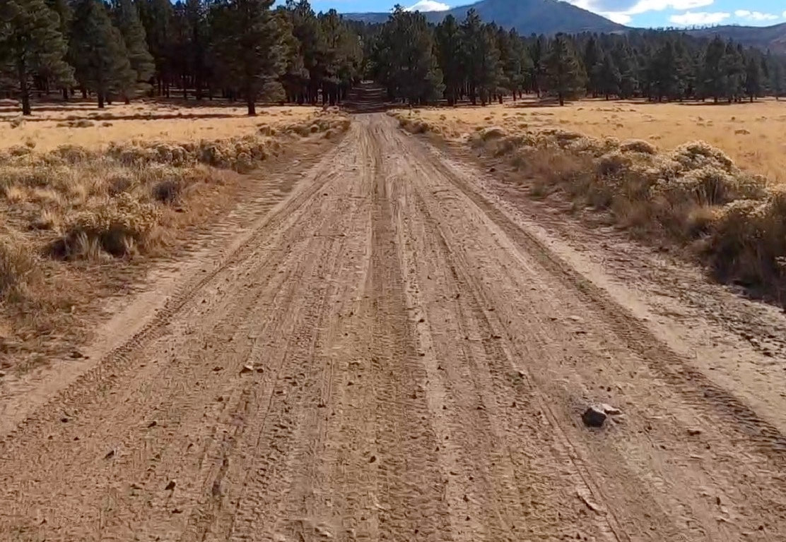
Well-maintained gravel or forest roads. No major risk of falls, Very few rocks, roots, or obstacles. There are many Class 1 sections. |
|
Class 2
More-primitive forest roads, including dual track roads. Minor risk of falls. Occasional rocks, roots, obstacles, or loose gravel/sand. There are many Class 2 sections. |
|
Class 3
Unmaintained Jeep or ATV roads. Reasonable risk of falls. Regular rocks, roots, sand, or obstacles. Requires fair amount of skill and concentration. There are many Class 3 sections. |
|
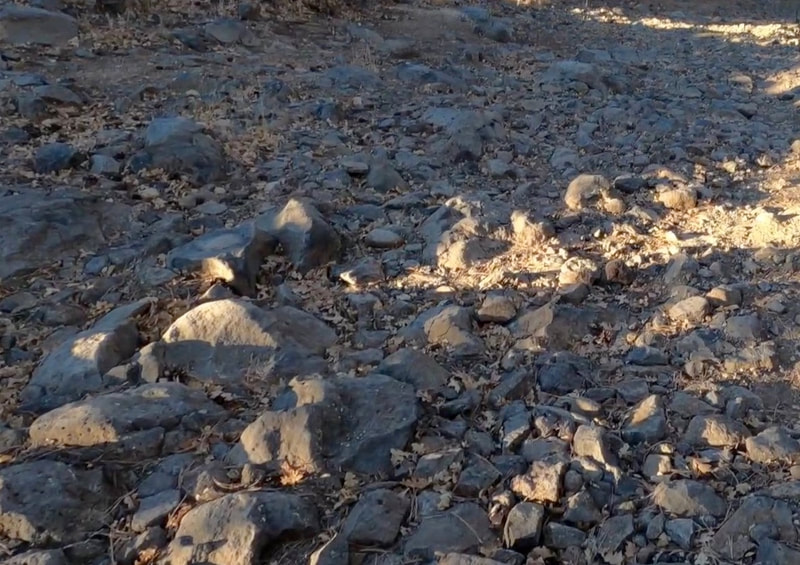
Class 4
Technical Jeep or ATV roads. Considerable risk of falls. Frequent large rocks, roots, or obstacles. Requires high skill and full concentration. There are a few Class 4 sections. |
|
Class 5
Highly technical dirt-bike/ATV routes. Extreme risk of falls and high danger. Constant large or unstable rocks, sand, roots, or obstacles. Requires advanced skills and full concentration. Not well-suited for typical ADV bikes. There are no Class 5 sections on any NAZMAT route. |