Day 1 - Southwest Flagstaff
GPS TRACK Download (DAY 1)
NAZMAT DAY 1 will be an easy-paced introduction to the roads and trails surrounding Flagstaff. Most of this first day will be fairly laid-back riding and feature Class 1 and 2 forest roads, with some occasional Class 3 sections. Riders of all skill levels should feel comfortable throughout the day as we cover about 80 total miles exploring various scenic points of interest in the Southwest region of Flagstaff. This includes, in part, Rogers Lake, Harding Point, Turkey Butte, East Pocket, and of course the well-known "Edge of the World" scenic lookout.
The Specifics
The day will start at the Woody Mountain Campground Store Main parking lot. From there we will head south on well-maintained gravel and forest roads (Class 1 and 2) for an easy and scenic ride through the pines. We’ll make our way south on Woody Mtn Road (231) first past Woody Mountain and Rogers Lake. We will then follow Forest Route 231 South for about 25 miles as it twists its way through the forest. We’ll pass Fernow Cabin and make our way to the far Eastern End of the road where we’ll stop for our late-morning break at "Edge of the World" and East Pocket for snacks and photos. For those interested, there will be time to hike the 1/2 mile up to the East Pocket Lookout tower for even better views to the South.
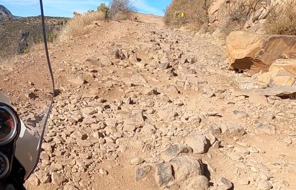
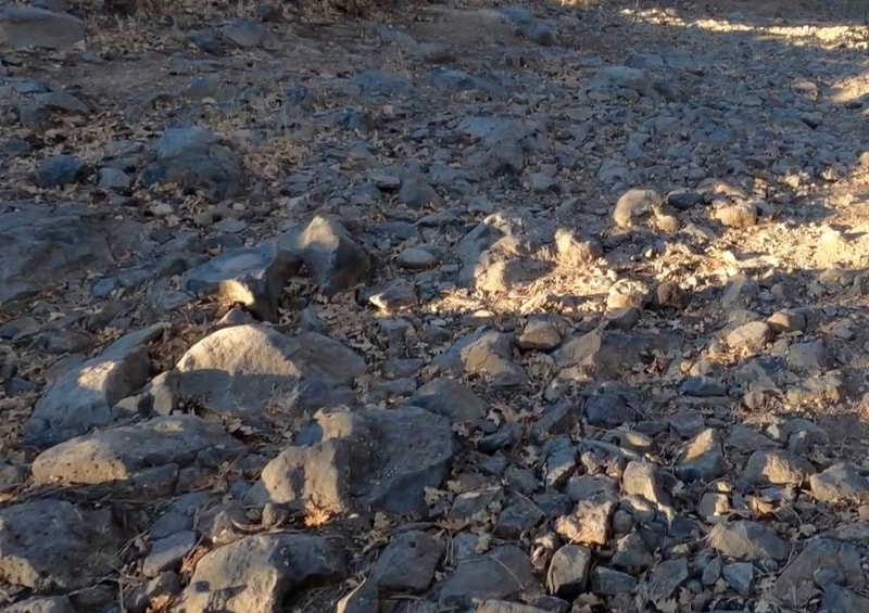
After a sufficient break we’ll re-trace our steps out FR 231 but break off on FR 231A past Fernow Cabin en route to Turkey Butte (Class 1 and 2). Depending on the status of the Gate at Turkey Butte, we’ll either ride to the summit, or simply circumnavigate the base on FR 538 (Some Class 3). We will then take a quick jaunt up FR 538G to the Kelsey Springs trailhead and spectacular views of Sycamore Canyon (Class 3). The route re-traces back to FR 538, where we'll follow it to FR 236A, to CR 535 Alt, to FR 535, and ultimately out to State Route 89A. Along the way, we’ll do the Harding Point Loop (Class 2 and 3+) and then once out on 89A, we’ll pop down for a quick look out from the Oak Creek Vista (Class 0). Finally, we’ll head north and cut through Fort Tuthill on Purple Sage Rd, and RT 532 back to Woody Mountain Road where we will end the day (Class 0 and 1).
After a sufficient break we’ll re-trace our steps out FR 231 but break off on FR 231A past Fernow Cabin en route to Turkey Butte (Class 1 and 2). Depending on the status of the Gate at Turkey Butte, we’ll either ride to the summit, or simply circumnavigate the base on FR 538 (Some Class 3). We will then take a quick jaunt up FR 538G to the Kelsey Springs trailhead and spectacular views of Sycamore Canyon (Class 3). The route re-traces back to FR 538, where we'll follow it to FR 236A, to CR 535 Alt, to FR 535, and ultimately out to State Route 89A. Along the way, we’ll do the Harding Point Loop (Class 2 and 3+) and then once out on 89A, we’ll pop down for a quick look out from the Oak Creek Vista (Class 0). Finally, we’ll head north and cut through Fort Tuthill on Purple Sage Rd, and RT 532 back to Woody Mountain Road where we will end the day (Class 0 and 1).
Footage FROM the Ride
|
|
|
|
|
|
PHOTOS from the ride
Road/Terrain Rating
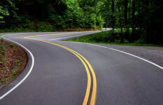
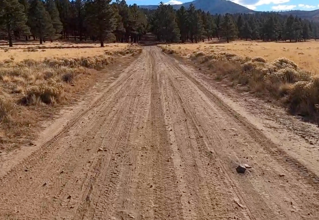
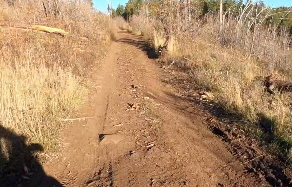
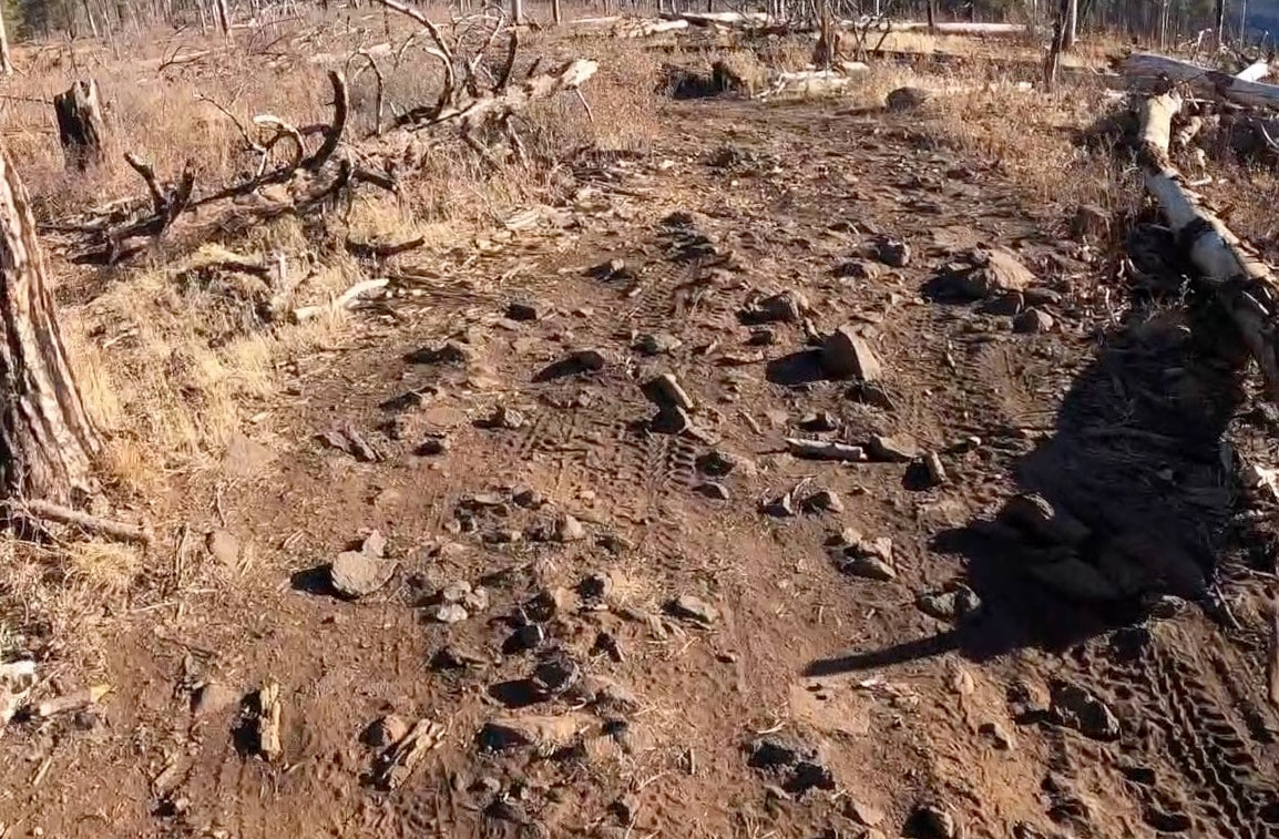
The difficulty and terrain of all NAZMAT sections will be described using the following Class rating below. This is not an "official" rating system per se, but is still meant to give riders a general sense of the terrain. Nearly all of the routes will fall between Class 0 and Class 3, with a few short sections falling under Class 4. There are no Class 5 sections on any NAZMAT route.


